TGS, a leading provider of multi-client geoscience data for exploration and production companies, today announced that it has commenced its first-ever regional airborne Enhanced Full Tensor Gravity Gradiometry (eFTG) multi-client survey - together with magnetic and Lidar data - over the Upper Egypt region of the country. This survey is designed to provide unique, high-resolution imaging of the region with increased accuracy and higher spatial resolution to enhance exploration activities.
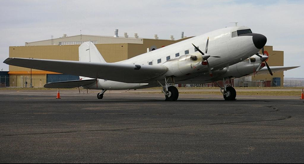
A photo of the survey plane at a Cairo airport. It has now transited to the survey region and commenced acquisition of the first phase of this extensive program.
TGS, in partnership with AustinBridgeporth, was recently granted rights to acquire eFTG data (the world’s highest resolution gravity imagery) across the whole of Egypt. The first phase of the project covers an area of approximately 120,000 square kilometers over which GANOPE manages and supervises all upstream and downstream oil and gas activities. The survey will provide sufficient data on the geological structures and sedimentary basins in Upper Egypt to enable the Egyptian government to launch new international onshore bid rounds for the region.
This is the first phase of a planned program that will roll into a multi-year acquisition that aims to cover both onshore and offshore Egypt. The eFTG technology used for data acquisition, is being applied for the first time in the Middle East and North Africa (MENA).
Rune Eng, Executive Vice President, International at TGS, stated:
“We are delighted that this significant project is now underway in Egypt and will, for the first time, provide much-needed high resolution data to a region that is set to significantly step-up its hydrocarbon activities in 2020 and beyond. Along with our partner, AustinBridgeporth, we are looking forward to a significant long-term relationship with GANOPE.”
Gravity Gradiometer technology
Gravity Gradiometer technology measures minute differences in the earth’s density to yield information on geologic structures underground and undersea. This information is used for a variety of applications, including natural resource exploration – such as oil & gas, navigation, and underground detection and can be deployed on marine ships and aircraft.
Enhanced FTG (eFTG) is the world’s most advanced moving-base gravity gradiometer, possessing a noise floor about three times lower than the FTG and providing data with higher bandwidth. These improvements mean eFTG data have increased accuracy and higher spatial resolution, therefore widening the range of geological targets that can be mapped with gravity gradiometry. The greater sensitivity of the instrument allows the detection of smaller geological features with subtler density contrasts and improves the application of mapping structure in deeper basins.
KeyFacts Energy Industry Directory: TGS